
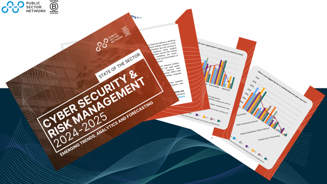
The MetroMap Insights product continues to evolve, specialising in transforming past and current high resolution imagery data into actionable insights.
Leveraging artificial intelligence, cloud-computing technology and data science, MetroMap provides product-market fit and scalable solutions to public sector clients.
Area Insights are currently delivered as six vector layers representing driveways, swimming pools, trees, grass, solar panels and buildings, based on the area of interest (LGA, Suburb or custom polygon). Formats are GIS-ready files (.SHP, .TAB, .GeoJSON) for integration into GIS software such as QGIS, ArcGIS, MapInfo.
These enhanced insights are a result of the ability to identify patterns and trends across large datasets as well as quantitative information, which is not possible with human analysis.
Property Insights include information related to the Area Insights as well as generic property address information, available as a spreadsheet (.CSV) for import into programs such as Excel, PowerBI, Tableau.
Significant benefits of property insights include safety and cost through the reduction/elimination of site visits, and the ability to drill into specific LGAs or other targeted areas.

Published by
About our partner
Aerometrex
Aerometrex is a geospatial tech company with a focus on providing data-driven insights for a range of business applications. As a preferred supplier to the private & public sectors, the company has over 40 years of experience in areas such as aerial imagery and mapping, 3D modelling and airborne LiDAR. The company also offers a subscription-based service known as MetroMap, which gives users easy access to high-quality 2D imagery, 3D reality mesh models and LiDAR-derived products.Over the years, Aerometrex has showcased global expertise in providing derivative solutions from all types of imagery (large-format aerial, satellite, and UAV) as well as LiDAR. The company’s spatial solutions have underpinned many local, state, and federal projects across areas such as infrastructure, engineering, construction, environment & disaster management, transport and logistics, energy & utilities, etc. The company has won numerous awards for its work across Australia, USA, and Europe.
Learn more


Help your peers
Share what you've learned with fellow public servants