
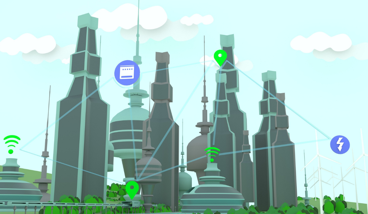
Collecting data to drive insight and enhance planning
Panel Discussion: Unifying analogue and digital spatial data to enable stronger application

Martin Karm
Executive Director Strategic Planning, School Infrastructure
NSW Department of Education

Dr. Mahesh Prakash
Head of Group and Senior Principal Research Scientist
Data 61, CSIRO

Jemma Picco
Principal Surveyor, Surveying Services and Lands
Qld Department of Resources

Dr. Grace Yun
Manager Spatial Services, Epidemiology Branch
WA Department of Health

John Cardoso
Senior Product Manager
Intelematics
Using Spatial Data

Open spatial data, or geospatial data is increasingly being used in a variety of sectors to assist with planning and delivery of infrastructure, as well as predicting how things will be shaped and assessed.
From a resources perspective, Jemma Picco, the Principal Surveyor of Surveying Services and Lands at the Department of Resources in Queensland, says that “our data is used extensively by all government departments as well as private industry, academia and basically everyone.” For surveying services in particular, it is important to have “accurate land boundary information, so all of those applications are used extensively in planning and development.”
Martin Karm, the Executive Director of Strategic Planning and School Infrastructure at the Department of Education in NSW, says that by the nature of their work, “when we move students and schools around, we need to be really conscious of how that works spatially,” and thus “we have a lot of reliance on good mapping tools to be able to do just that.”
Dr. Mahesh Prakash, the Head of Group and Senior Principal Research Scientist at Data 61, the digital research network of the CSIRO, takes it even further and says that “we have been developing digital twin capabilities using spatial data so we use not just 2D, but 3D and even 4D spatial data for an architectural and planning perspective.” Digital twins are in their infancy, but “there’s a lot of capability in visualising what future cities might look like in terms of transportation, buildings and other factors.” They also use spatial data “in the financial and insurance sectors, mainly focussed on disaster risk management” in planning for things like climate change, bushfires, floods and other disasters. Digital twins will be even more practical when live data can be added to “model things like bushfires, for example.”
Dr Grace Yun, the Manager of Spatial Services within the Epidemiology Branch at the Department of Health in WA, says that their state spans “over 2.5 million square kilometres and is, therefore, the largest area in the world covered by a single health authority.” This means that the way health is delivered has largely “been highly dependent on locations.” Spatial data has been assisting them in developing “web applications and telehealth services” to cover their large areas, and this has been especially helpful during the pandemic.
John Cardoso, a Senior Product Manager at Intelematics, a vendor, says that they are a company that is interested in understanding how people move, and “if you have a GPS in your car, you’re probably using our technology but you’re not aware of it.” Their data is now being used in conjunction with traffic mapping programs and is overlaid “with extensive historical data.” Their point of difference is that they can identify the number of vehicles on the road in any one place at any one time, “not only the speeds and congestion, and we can tell you where they’re coming from and where they’re likely going.” During the pandemic for instance, this was critical information for governments to know when cities were in lockdown, as it showed people’s movements for better monitoring and economic recovery. “We can also predict when and how the economy is going to recover based on how people are actually moving.”
Platforms and Technology
To manage the different ways organisations use data, there are many different platforms and many different ways of using those platforms. The vast majority of organisations, as Jemma Picco says, “use a mix of platforms and applications.” In their department, this is because “there are lots of different business needs, and some of them are quite specialist.” As such, some of their platforms are customised and were developed in-house, but most are mainstream. Most commonly, “we use Esri software, [1] with some of it straight out of the box, and some of it needing to be customised.” The preference is out of the box because it is easier to maintain, and “of course maintaining resources requires you to have that knowledge.”
Martin Karm says that they mostly use Microsoft products, but also rely on hybrid digital platforms. However, to match their specific need, they have “essentially developed our own platform from scratch.” Since they deal with schools and students, though platforms are important, “it is the investment in the skills and capabilities of the team that will see us truly deliver.” Many of the team members have vastly diverse backgrounds and “upskilling them will enable us to develop efficient platforms and customise them in the way that we need.” With digital twins and machine learning, the skill levels need to be high
”
It is important that we are consistent in our data platform collection, and in the way that we build our data skills, but I feel that the consistency is not quite there yet.
The process is often problematic because the data comes to them “from more than 50 organisations, like road authorities, emergency service, and private associations, but we’re quite used to normalising, harmonising, and aggregating the data. Our job is to curate the data and make it usable.” With relation to privacy and standardisation, for Martin Karm, the somewhat ironic question is “how can open data sources be more open?” Sometimes data has to remain very private, “like enrolment information, which is about the students and where they live, and there are privacy rules and regulations around that.” Yet at the same time, there must be better ways to “de-identify data and to aggregate it to different geographies.” Collaborating between organisations for better data-sharing efforts will solve some of these issues, but there is push-back related to that as well. For school infrastructure, having access to specific data about where people live is really important, “because there’s no point building a new school in an area that’s full of retirees.”
Jemma Picco says that sometimes the type of platform or technology that is being used is for practical purposes. For instance, their department may prefer to have open-source software that is available to everyone and can easily be shared, but instead uses Esri, which is “proprietary software – copyrighted and licensed – because it provides us with the stability of knowing that we have, and with reliability and warranty.” Dr. Grace Yun agrees that proprietary software is “better for maintenance. Open source is good but doesn’t come with the same maintenance and is sometimes not consistent.” During COVID-19, however, they used more open-source software and data than in the past, together with Esri and other sources, because it provided them “better complex spatial analysis for the selection of locations for vaccine clinic sites and modelling.”
Dr. Mahesh Prakash also says that there are benefits of both. At the CSIRO they often focus on “back-end analytics, and we tend to be cutting edge.” To maintain that level of research and development, “open source works well for what we are doing. But we are always looking at interoperability. That’s when we use Esri, to work with our complex analytics.”
”
For us, the challenge going forward is going to be how to actually make these systems more interoperable. Do we use a completely end-to-end proprietary systems, or do we end up somewhere in the middle, with open source for some things and a proprietary system for a given reason?
Dr. Mahesh Prakash, Head of Group and Senior Principal Research Scientist, Data 61, CSIRO
”
Dr Grace Yun says that currently, the biggest challenge is about embedding existing practices. The QR code is one example, and “the data that comes from it is very valuable, especially for contact tracing during an outbreak. John Cardoso agrees, but says that embedding this kind of technology won’t be hard. “It is interesting to see the change in behaviour with QR codes. A year or two ago most people didn’t understand them or know how to use them. Now it’s just standard, so there is an opportunity there to definitely develop those technologies for different types of data sources.”
Moving Forward
”
In the health industry technology is often lagging, but COVID-19 changed that. Everyone realised that spatial technology was one way of addressing the pandemic. Now we have invested in more tools and resources and our staff can teach themselves and learn. This is the key to our future.
Dr. Grace Yun, Manager Spatial Services, Epidemiology Branch, WA Department of Health
For John Cardoso, the future is about consolidation. “We have about 12 trillion data points in our software. We use technology and build our own so that we can find what we need in real-time without having to wait for reports to be generated. We also use AI modelling to help better inform our clients.”
Jemma Picco says that 3D and 4D technology is the next big thing, but “first of all we’ve got to have better data quality and data accuracy.” It is now about working towards being more cutting edge.
”
We need to have the specialist skills associated with the data, and we need to be able to provide confidence and certainty to people.
Jemma Picco, Principal Surveyor, Surveying Services and Lands, Qld Department of Resources
Martin Karm says that it is not just about investing in resources, but “investing in the skills and capabilities of the workforce.” All the top companies in the world these days are “digital companies,” even if that is not their focus. “We need to invest in the digital capabilities of our teams so that we are not left behind.”


