
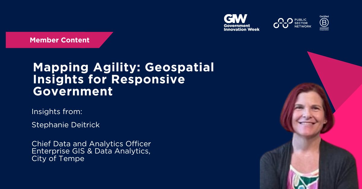
We had the pleasure of collaborating with Stephanie Deitrick, Chief Data and Analytics Officer for the City of Tempe, to share her expert insights on agile service delivery through the lens of geospatial intelligence. As a featured speaker at our recent Government Innovation Showcase Arizona, Stephanie delivered a powerful session titled "Mapping Agility: Geospatial Insights for Responsive Government," where she highlighted how location-aware data is driving faster decision-making, stronger cross-department collaboration, and more responsive, citizen-centered services. Enjoy the insights!
- Please share with us a bit about your role and focus areas.
I’m Tempe’s Chief Data & Analytics Officer, where I lead the Center for Integrated Data Innovation. We bring together areas including GIS, Data & Analytics, AI, Evaluations, and Open Data to support the use of data, analysis, and technology to inform decision making and share data and tools with the community. I developed Tempe’s Open Data, Ethical AI and Evaluations policies, and work with teams across the city to turn data and information into practical tools, such as dashboards that show pavement quality progress and keep both the communities and leaders informed.
- Arizona's state and local governments serve diverse communities, from rapidly growing urban centers to vast rural areas. From your perspective, what is the single biggest opportunity that geospatial data and analytics presents for improving public service delivery across our unique state?
"The biggest opportunity is using place-based data to guide smarter, location-aware decisions. Challenges like extreme heat, housing, and infrastructure don’t look the same everywhere, even within the same city. Geospatial data lets us move beyond citywide averages, so we can target resources where they’ll have the most impact. These tools support services that are more equitable, efficient, and responsive to community needs."
- Your session at the Government Innovation Showcase Arizona highlights geospatial dashboards for guiding service delivery. Could you share a specific example of how a location-aware dashboard changed a decision-making process or resource allocation in a way that a traditional report could not?
"A strong example is Tempe’s Homeless Solutions Hub ([email protected]), which brings together data on encampments, outreach, and emergency response. Updated in real time or weekly, it combines location-based details with citywide trends to show both progress and shifting needs. The hub supports operational decisions, like where to send outreach teams, how to allocate staff, and where unmet needs remain, while also strengthening coordination across departments, regional partners, and keeping the community informed."
- Embedding location-aware workflows into daily operations sounds transformative but can be a cultural shift. What has been the key to getting field staff and department leaders to adopt and trust these new data-driven processes?
"Success comes from building with staff, not just for them. Field teams have been key collaborators throughout the development, refinement and implementation of data collection tools, workflows and dashboards. The tools reflect how the work gets done, so that they are operational, meaning they aren’t just maps to look at, but systems that drive work orders, outreach assignments, and follow-ups. Finally, we close the loop by showing outcomes. When staff and leaders see how their decisions translate into real results, trust grows quickly."
- Community-driven data collection is powerful for capturing citizen concerns. How can cities ensure this approach captures a representative view of the entire community and leads to more equitable interventions, rather than only amplifying the voices of those who are most vocal or have easiest access to technology
"It’s important to reduce bias and broaden participation. That means collecting input through multiple channels, such as apps, phone calls, in-person outreach, and partnerships with community organizations. It also means making tools accessible in multiple languages and formats, including low-tech options like paper forms. Once data is collected, we can weight results to be more representative of our community, as with our annual Community Survey. Just as important, through our open data portal (data.tempe.gov) and our performance measures, we share data about describing who we heard from and link results to performance measures, so residents know how their feedback impacts the city."
- What advice would you give other agencies as the most critical piece of advice for fostering a data-driven culture where geospatial insights are actively used for decision-making, not just collected?
"The most important step is to make location data actionable. Maps and reports are valuable, but they have the most impact when tied to clear thresholds and next steps that are regularly reviewed. For example, crash data showing where serious and fatal accidents occur can be combined with enforcement data to guide where resources should be focused. When leaders and staff see data directly connected to action and outcomes, geospatial insights become part of how the city operates every day."
Final Thought:
Stephanie’s work exemplifies how data becomes truly powerful when it’s accessible, actionable, and rooted in community needs. From embedding location-aware workflows to developing inclusive, equity-focused data collection practices, her approach underscores the value of building tools with the people who use them—not just for them. As more cities embrace geospatial insights, her leadership offers a compelling foundation for how to foster trust, drive impact, and embed innovation into everyday government operations.
What’s Next: Join Stephanie Deitrick at This Year’s Event
Building on last year’s conversation, Stephanie is back at the Government Innovation Arizona on October 1st, 2026 with an all-new session:
AI Data Readiness in Practice: What Arizona Is Building Today to Enable AI at Scale
Joined by other state and local government leaders, Stephanie will highlight practical readiness moves, so you can apply what’s working to enable scalable, real-world AI applications.
Don’t miss this critical conversation. Register here today (free and exclusive for public sector).


Help your peers
Share what you've learned with fellow public servants