Western Heritage
Archaeology, Heritage Studies, Drone Mapping, Satellite Imagery
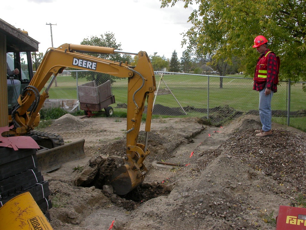
Western Heritage has been delivering our services to Saskatchewan Municipalities since 1990. During that time we havegrown to also serve customers in Alberta and Manitoba. Our services cover three areas: Archaeology (HRIAs, heritage approvals, community history, public archaeology, historic buildings), Mapping (Maxar satellite imagery, near-surface geophysics, UAV mapping, digital road networks, GIS mapping). Our UAVS fly with optical, thermal, or lidar sensors depending on your requirements. Our projects are completed under enhanced safety protocols and quality management.
The company began as the archaeological division of the Saskatchewan Research Council. Being immersed in innovation, we have continue to bring cost effective innovations to each of our projects. With over three decades of experience, our team of archaeologists is noted for on-time and cost effective delivery of heritage services. Our UAV devision has a team of AI specialists who develop custom models to extract the maximum amount of information from each drone survey. Our head office is located in Saskatoon.
 Canada