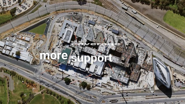
Get more with MetroMap High-Res Aerial Imagery
MetroMap is an aerial imagery data providing service, offering high-quality and accurate imagery to a subscriber base. Brought to you by Aerometrex, MetroMap fulfils all the quality and accuracy requirements …
Register to View Full Content
Create a free government account to access this video and other vendor resources
Register as Government UserAlready have an account? Sign in
Are you a solution provider and want your own listing?
Published: April 28, 2023

 Australia
 United States